Charente-Maritime & the Marais poitevin
Low country, high tides, and a very long lunch.
Between the Gironde and the Sèvre Niortaise lies a flat, bright stretch of France that most people drive straight through on the way to somewhere hillier. That is their loss.
- 11towns, islands & marshes
- 260 kmof flat, signed cycle path
- 6.4 mspring tidal range at Aix
- 0cars needed for any of it
The guide
Roman stones, salt pans, and oyster sheds the colour of leftover paint.
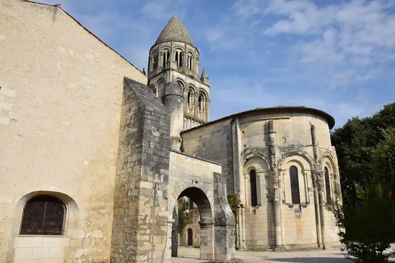
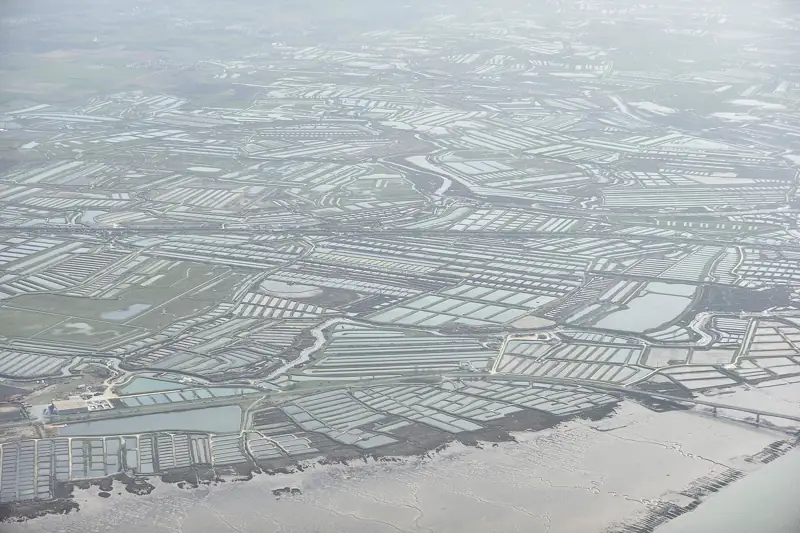
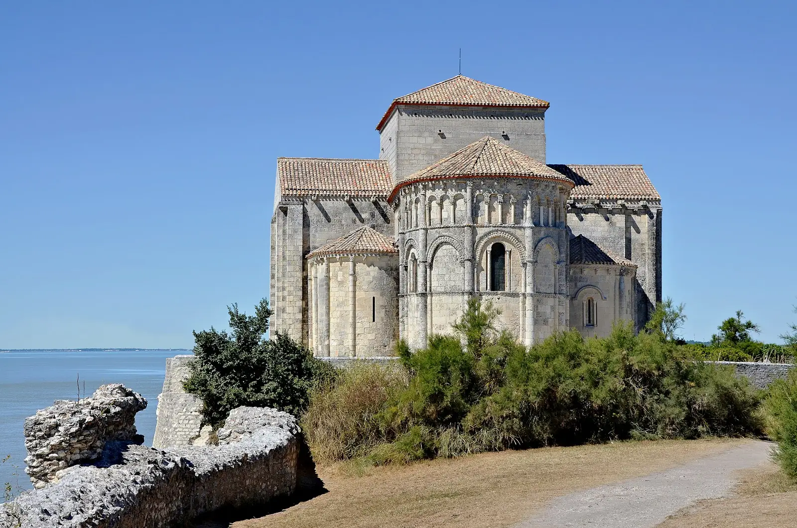
This is a guide to Saintonge — the old province around Saintes, Cognac and the Charente river — and to the marshes that run along its coast and up into the Marais poitevin. Romanesque churches in every second village, salt pans worked since the eleventh century, a fortress town stranded three kilometres from the sea it was built to guard.
We have tried to keep it short. Everything here can be reached by train, bicycle or boat, and most of it is better that way.
Where to begin
Six places, roughly in order of how much we argue about them.
Start with any of these and you will find the rest by accident. That is mostly how we found them.
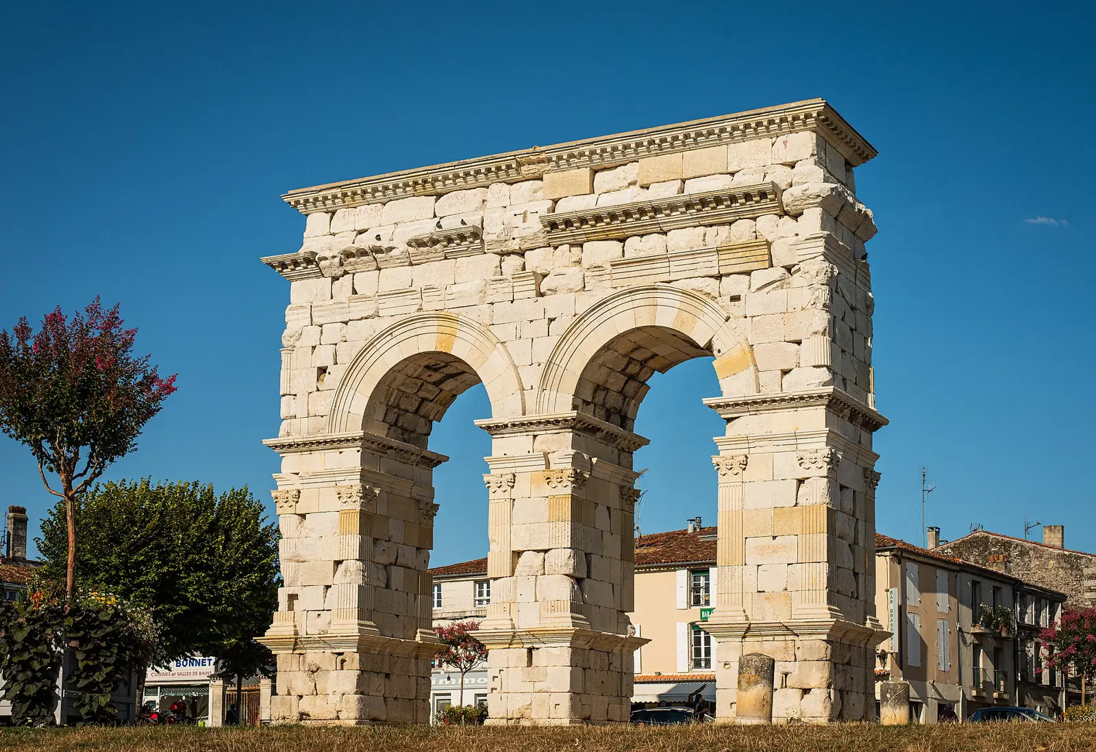
A Roman town that forgot to become a big one
The arch, the amphitheatre in its grassy bowl, and the Abbaye aux Dames, whose July music festival sells out before anyone thinks to ask.
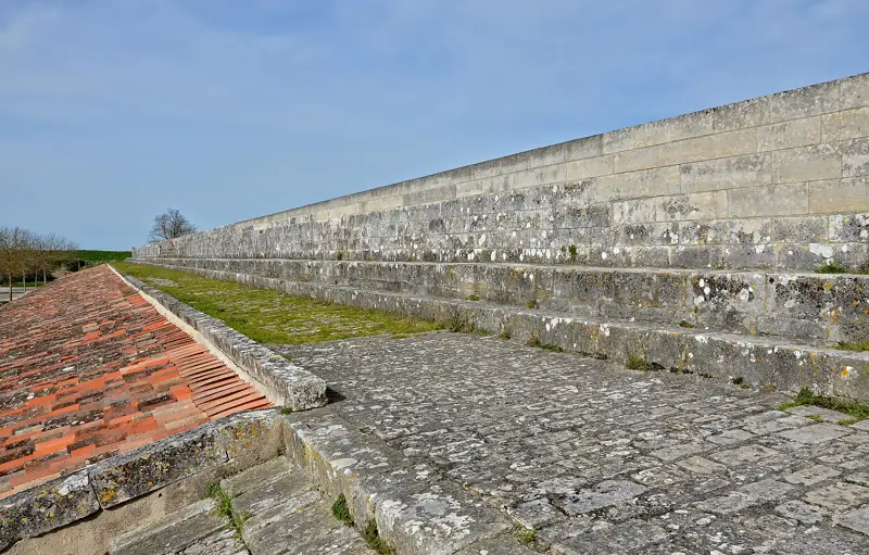
Brouage
A fortress stranded in its own salt marsh.
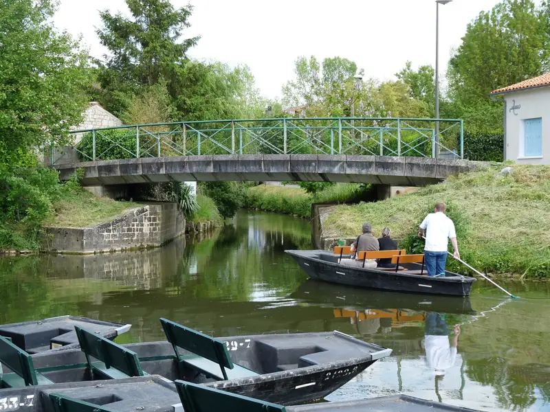
Coulon
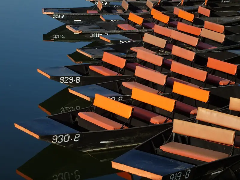
Green canals, pushed along by pole.
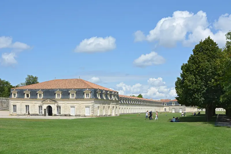
Rochefort
A rope-works 374 metres long.
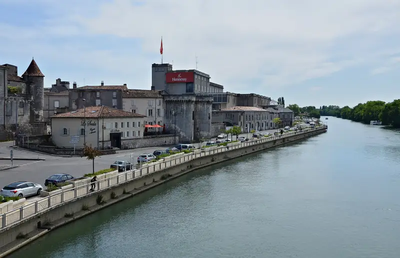
Cognac
Walls blackened by the angels’ share.
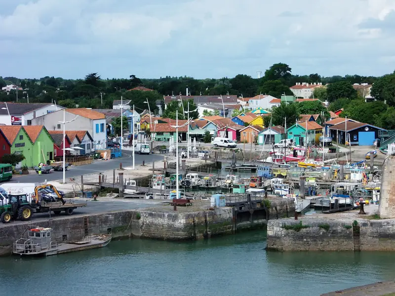
Île d’Oléron
Painted huts and the fish auction.
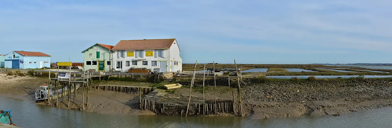
Here the land does not end so much as lose interest — first marsh, then mud, then oyster beds, then, eventually, the sea.
When to come
The year, briefly.
The coast fills up from mid-July to the end of August and empties with remarkable speed in September. Inland Saintonge barely notices either way.
Itineraries